Maryland Department of Natural Resources provides the Water Quality Assessments map to help determine if the receiving waters listed on the current Maryland 303(d) are impaired.
- Go to the Water Quality Assessments map. The welcome splash screen gives instructions on how to use the map. To dismiss the screen, check the ‘Proceed to Map’ box and click ‘OK’.
- A map of Maryland is shown by default. Use the zoom and pan tools to locate your project area.
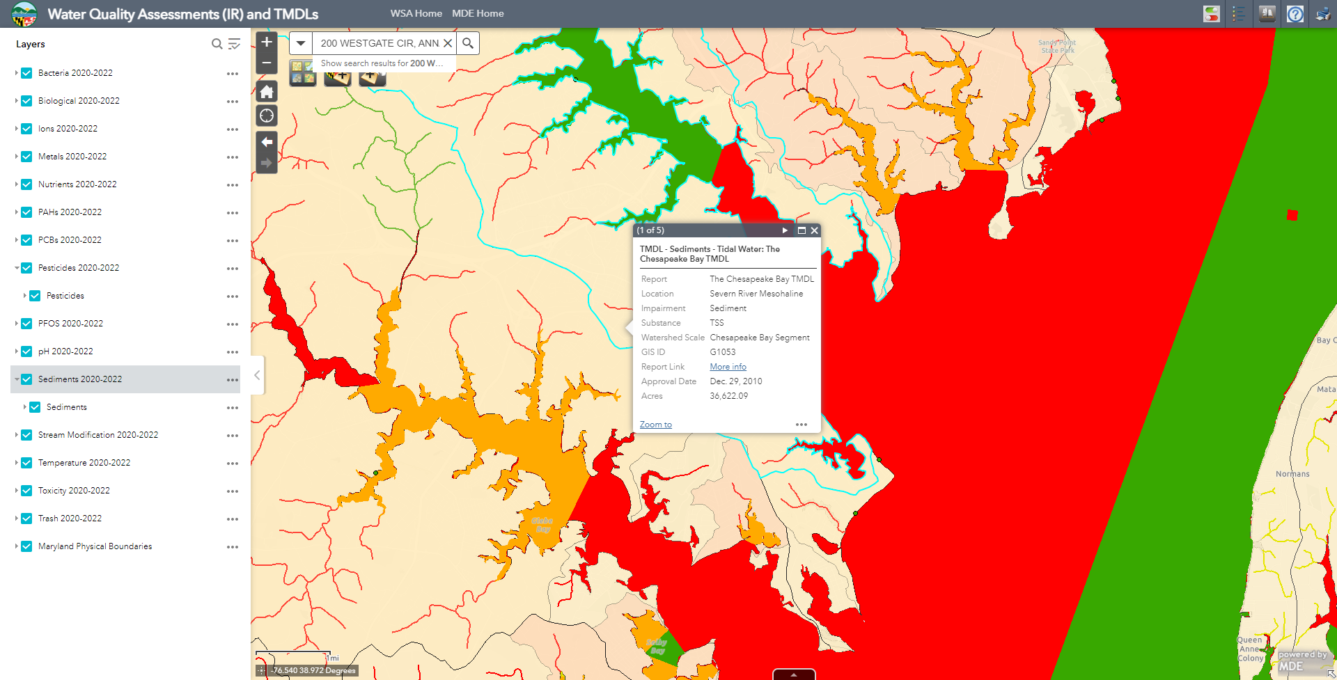
- In the left-hand Layers list, check the box for each layer. Impairments related to each layer will be displayed on the map, with different colors indicating the different impairments.
- If any impairments (colors) are displayed on your project area, click on your project area. An information box will appear, giving details of impairments. The number of layers affecting your project area is indicated at the top-left of the box (e.g. 1 of 5). If there are multiple layers, click on the arrow in the top bar of the box to show information on each layer. Note each impairment.

» More information about Integrated Report (IR) data
» More information about Total Maximum Daily Loads (TMDL) data